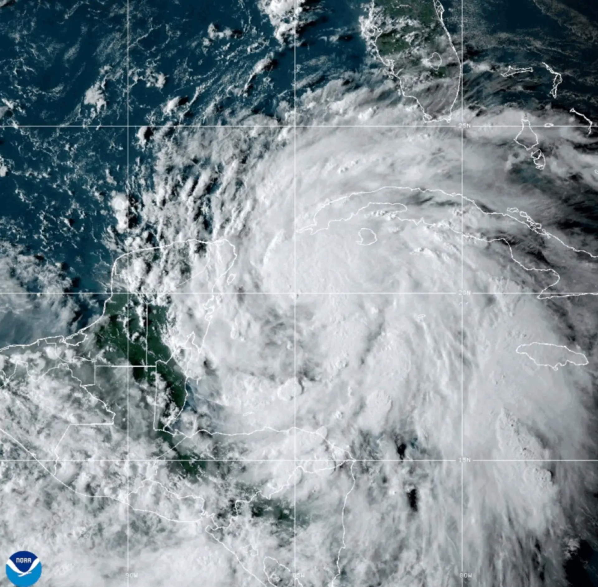
Forecasters said the storm was expected to continue growing stronger and larger before approaching the Gulf Coast late on Thursday.
While the forecast is still evolving, the storm could strengthen to a Category 3 or higher before making landfall late Thursday. Forecasters warn that Helene’s large size could cause widespread impacts across a broad region.
 Caroline Conner, general manager of Cigar Paradise on St. Armands Circle in Sarasota, gets some help from her boyfriend, Jake Wright, installing hurricane storm panels on the front of the business in advance of Hurricane Helene on Wednesday, Sept. 25, 2024. Mike Lang / Sarasota Herald-Tribune
– As of Tuesday, at least 13 Florida counties have issued evacuation orders, and Governor Ron DeSantis has declared a state of emergency in 61 of Florida’s 67 counties. “There’s still a lot of uncertainty,” he said, urging residents to begin preparations immediately. New storm surge and hurricane watches and warnings were issued for Florida’s Gulf Coast on Tuesday afternoon, indicating those conditions are expected within the next 36 to 48 hours.
– This hurricane season had been forecasted to be exceptionally active, but much of August and September saw a lull in activity. However, storm activity has increased significantly in recent weeks.
 Tropical Storm Helene is forecast to become a major hurricane in the Gulf of Mexico before making landfall in the Panhandle or Big Bend region late Thursday. National Hurricane Center.
With a more precise location to start from, forecasters and computer models gained greater confidence in predicting that Helene will likely become a major hurricane before making landfall along Florida’s Big Bend.
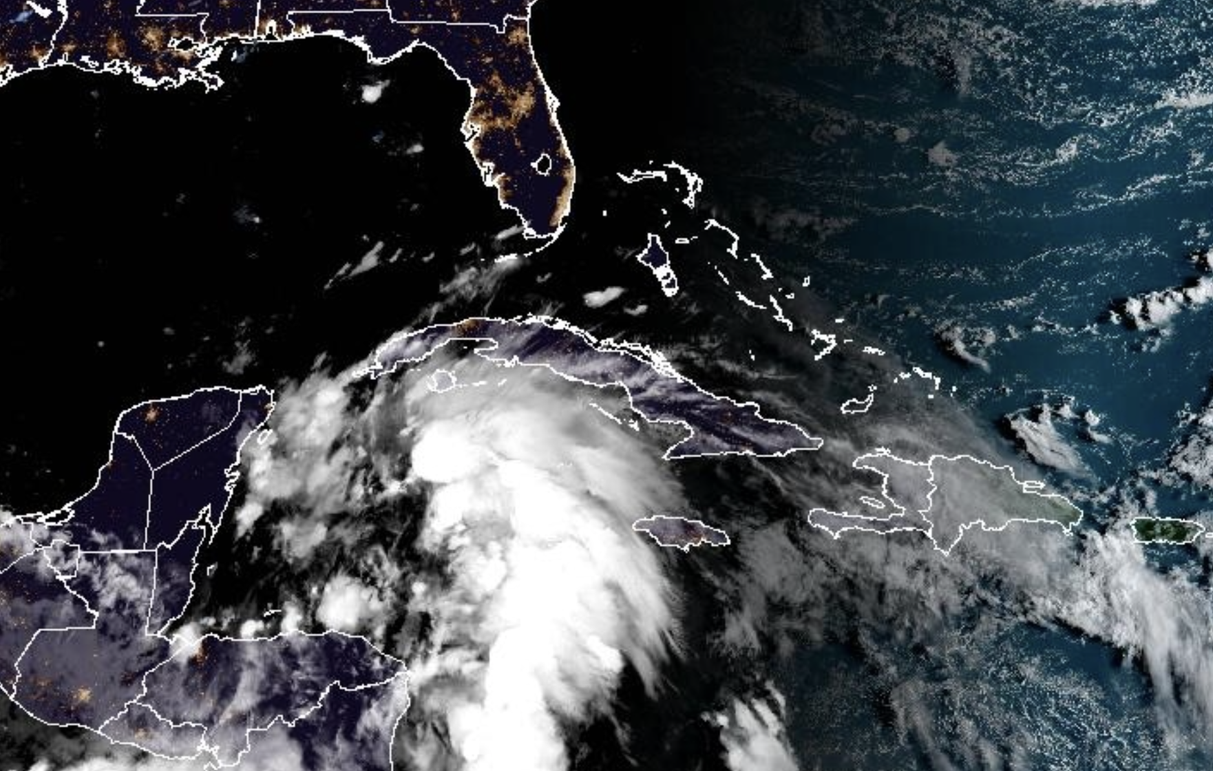 Gov. Ron DeSantis on Monday declared a state of emergency for 41 counties as a storm system is expected to rapidly grow into a powerful hurricane in the Gulf of Mexico.
However, the storm’s center may shift and wobble before it strengthens into a hurricane, according to John Cangialosi, a senior hurricane specialist with the National Weather Service. While the track guidance from weather models shows a closely clustered path—usually indicating strong confidence—there is still a possibility that the entire forecast could shift slightly east or west.
Forecasters cautioned on Tuesday that it’s important to be prepared for these changes. Some models suggest Helene may weaken and track west, while others project a stronger storm heading east. Most, however, indicate a middle ground, pointing toward Florida’s Big Bend as the likely target. All possibilities are still in play, and a high-altitude hurricane hunter flight took off from Florida on Tuesday afternoon to gather data on the steering currents, which will inform future computer model updates.
 The National Hurricane Centre has reported a disturbance in the Gulf of Mexico due to Possible Hurricane Helene, which could bring heavy rains to Central America. Meanwhile, Tropical Storm John has formed in the eastern Pacific Ocean and may cause flooding in southern Mexico later this week.
A storm of this size could pose significant risks to large populations, such as those in the Tampa Bay area, which might experience damaging winds and storm surge not seen during Hurricane Idalia in 2023. Idalia, though similar in track and intensity to Helene, was much smaller. Helene’s large size also means that damaging winds may reach farther inland, affecting cities like Tallahassee. Helene, like Francine a few weeks ago, faces a deadline. If the storm doesn’t strengthen into a hurricane by Wednesday morning, it may not have enough time to reach Category 3 strength before making landfall.
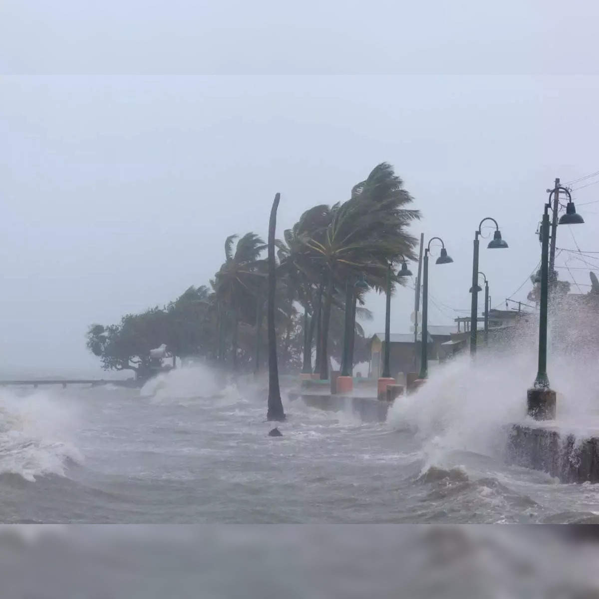 Tropical Storm Helene is intensifying in the Caribbean Sea and is expected to become a hurricane by Wednesday. According to the National Hurricane Center, the storm is projected to make landfall in Florida on Thursday evening, prompting evacuations and emergency declarations. Heavy rainfall and life-threatening storm surges are anticipated along the Gulf Coast.
“There’s still a lot of uncertainty,” he said, urging Floridians to begin preparing for the storm immediately. “People should just be aware that this is coming.”
The Air Force Reserve’s 53rd Weather Reconnaissance Squadron, along with NOAA, flies these hurricanes hunter planes directly into or over active storms. At the same time Kermit is in the storm, another of their aircraft will be flying at 5,000 feet, while we cruise at 10,000 feet. Meanwhile, an upper-altitude plane called Gonzo will be even higher, gathering data on the upper-level winds.
 Tropical Storm Helene which formed in the Caribbean Sea could strengthen into a major hurricane while moving north toward the US, forecasters have said.
This afternoon’s mission is to pinpoint the exact location of the storm’s center, analyze its structure, and determine whether it’s starting to take on the characteristics of a hurricane. The data gathered will be crucial in predicting just how powerful the storm could become by Wednesday.
 Gov. Ron DeSantis speaks on safety and preparations ahead of Helene


